Magnitude 5.0 earthquake strikes near Pinnacles, California
USGS reviewed a magnitude 5.0 earthquake near Pinnacles. See the one-week aftershock odds, the ShakeAlert timeline and how to read the shaking reports.
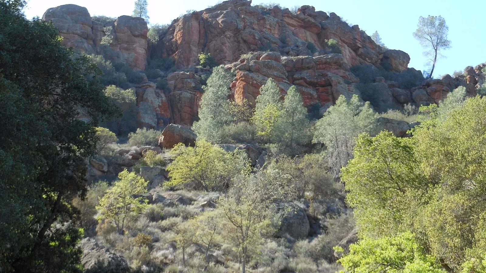
A magnitude 5.0 earthquake struck near Pinnacles in Central California at 10:49 p.m. Pacific time Thursday, sending shaking reports from the Salinas Valley into the Bay Area. The reviewed U.S. Geological Survey event record places the epicenter about 6 miles northwest of Pinnacles and the earthquake about 4.2 miles underground.
Some of the first alerts and news reports used higher figures. One automatic solution estimated 5.4, and another recorded 5.1. Those numbers and the reviewed 5.0 describe the same quake. They come from different solutions published as more seismic data became available. The event identifier, nc75468702, is the most reliable way to follow changes to its record.
What the updated USGS forecast says about aftershocks
The USGS’s reviewed record for the Pinnacles earthquake continues to display a magnitude of 5.0. In the forecast product updated at 4:59 a.m. PST Friday, the agency estimated the following chances of at least one aftershock at each threshold in the forecast area. The one-week window began at 4:50 a.m. PST on Nov. 20.
| Magnitude threshold | Chance of at least one |
|---|---|
| 3.0 or higher | 73.6% |
| 4.0 or higher | 15.8% |
| 5.0 or higher | About 1.8% |
The thresholds overlap. An aftershock of magnitude 4.0 would also count toward the magnitude 3.0 threshold. Each probability applies to the chance of at least one event of that size or larger. The values cannot be added together. For a shorter comparison, the same forecast put the first 24 hours at about 50% for magnitude 3.0 or higher and 7.7% for magnitude 4.0 or higher. Those intervals start at the same time and cover different lengths of time.
A magnitude forecast describes how large an earthquake could be in the forecast area. To understand what shaking might feel like where you are, start with how far you are from the event and look for reported or modeled shaking. The USGS’s Did You Feel It? program collects people’s accounts by location. The main event record listed 3,556 voluntary felt reports in its 8:35 a.m. PST update. That is a count of reports, with timing and geography distinct from the forecast for earthquakes that may occur later.
USGS can revise the aftershock probabilities as more measurements come in. Readers looking up a new jolt can check the agency’s latest earthquake map for a separate event entry, then compare its local time and location with what they felt.
Why the quake has two dates
The earthquake began just before 10:50 p.m. on Nov. 19 in California. It was already Nov. 20 at 06:49 UTC, the time standard used in the national catalog. A California alert dated Thursday and a USGS entry dated Friday refer to the same event. The regional seismic network report prints both dates on the same record.
Seismic networks can use different reference points to place the same epicenter on a map. The national catalog describes the epicenter relative to Pinnacles. The regional report gives the distance from Soledad, about 13 miles to the southwest of the epicenter. A reader in San Jose can report shaking from the event even though the epicenter was well outside the city. CBS News Bay Area reported people feeling it in Monterey County and as far north as Stockton.
What a phone alert tells you
The USGS ShakeAlert summary puts the initial message about 4.9 seconds after the earthquake began. The summary says the alert was distributed through the Wireless Emergency Alerts system. That interval is the time between the quake’s start and the system’s first message. It says nothing by itself about how much warning any individual phone received.
The same summary illustrates how location matters. It modeled about 1.6 seconds of warning time at Gonzales, 4.6 seconds at Hollister and 6.5 seconds at Salinas. These are system estimates for those locations. A phone’s actual delivery time, notification settings and location can produce a different experience. Someone close to the epicenter may feel shaking before an alert arrives.
Early warning works because an earthquake’s first waves can be detected before the stronger shaking reaches other locations. The system estimates how strong the shaking could be and sends a message while the event is already underway. The first estimate is designed to be fast. The reviewed catalog has more time to incorporate records from instruments across the region.
Three records answer three different questions
The event page’s magnitude is an estimate of the earthquake’s overall size. The ShakeMap estimates the intensity of shaking at different places using instrument observations and modeling. The Did You Feel It? page reflects responses people submit. More responses can expand the record of where shaking was felt without changing the magnitude of the earthquake.
This distinction is especially useful when comparing two nearby communities. Ground conditions and distance can make the shaking different even when both places are responding to the same event. And an intensity estimate or an online report does not establish whether a specific building was damaged. CBS reported no immediate damage or injuries in its early account. That was a snapshot of what had been reported at the time.
What to watch for after the first shock
The USGS published an aftershock forecast for this sequence. The forecast describes the chance of further earthquakes over a defined time and area. It can change as the agency measures more events. For a reader checking a new jolt, the event catalog shows the individual time and location. The forecast describes the likelihood of future shaking across the sequence.
If shaking starts again, the Earthquake Country Alliance advises dropping, covering your head and neck and holding on until it stops. The same immediate response applies whether the first sign is a phone alert or a room starting to move. Afterward, the reviewed event record and updates from local officials answer the separate questions of what was measured and what happened where you live.
Trust & transparency
How we handled this story
Verified the reviewed mainshock and timestamped USGS aftershock probabilities and separated forecast windows from felt reports.

Grounded in this reporting
Ask Newsmerica
Ask about this article. Answers quote the closest published passages and link back to their sources.
This tool retrieves article passages; it does not add outside facts.Keep exploring