Bay Area coastal flood warning starts Monday. When high tides will peak
A coastal flood warning starts Monday for San Francisco and San Pablo Bay shorelines. See the forecast high-tide times and where alerts differ.
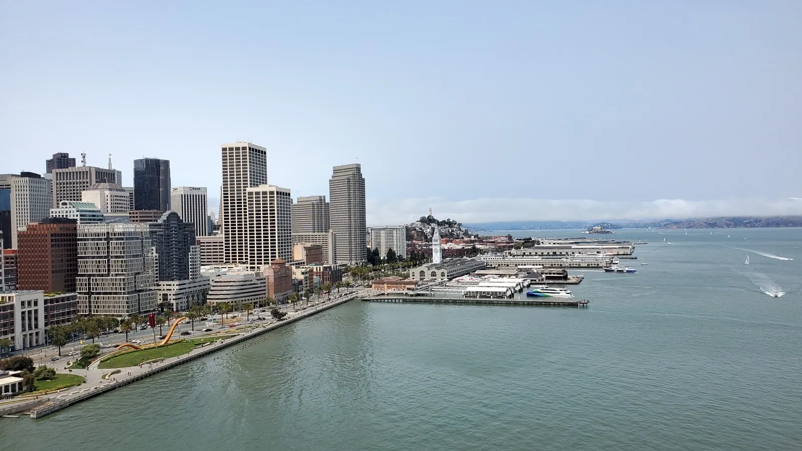
A coastal flood warning takes effect at 6 a.m. Monday, Nov. 23, for the San Francisco and San Pablo Bay shorelines as high tides and storm surge threaten low-lying roads, waterfront paths and other infrastructure during Thanksgiving week. The National Weather Service says water could reach up to 2.8 feet above ground in some low-lying areas near the shore or tidal waterways. The warning runs through 4 p.m. Thursday, Nov. 26. All times are Pacific Standard Time.
The NWS coastal hazard bulletin keeps a lower-level advisory for the bay shorelines in place until the warning begins. A separate coastal flood advisory continues on the Pacific side through Thursday afternoon. The weather service’s early Sunday forecast discussion kept those alert windows and described a storm expected Tuesday and Wednesday.
When the San Francisco gauge is forecast to peak
The following morning high tides are forecasts for the San Francisco tide gauge. The figures are in feet above mean lower low water, a tidal reference level. The gauge height includes the effects described in the NWS bulletin. It is measured from a different reference level than water over a road or sidewalk.
| Date | High tide (PST) | Forecast level |
|---|---|---|
| Sun., Nov. 22 | 8:48 a.m. | 7.8 ft |
| Mon., Nov. 23 | 9:25 a.m. | 8.0 ft |
| Tue., Nov. 24 | 10:05 a.m. | 8.4 ft |
| Wed., Nov. 25 | 10:49 a.m. | 8.6 ft |
| Thu., Nov. 26 | 11:38 a.m. | 8.2 ft |
Wednesday’s forecast is the highest in that sequence and 0.8 feet higher than Sunday’s at the same gauge. The agency says local high tide can occur up to about 90 minutes earlier along the Pacific Coast or later through the bay. The table gives a reference for the San Francisco waterfront. Travelers elsewhere should use the forecast and timing for their own stretch of shoreline.
Where the advisory and warning apply
The bay bulletin covers San Francisco, the North Bay interior valleys and the San Francisco Bay shoreline forecast zones, with the flood threat near the San Francisco and San Pablo Bay shorelines and connecting tidal waterways. Before the warning begins, the NWS says up to 2 feet of above-ground inundation is possible in low-lying spots. During the warning, the potential rises to 2.8 feet. The agency expects flooding of low-lying infrastructure and warns of possible road closures and coastal erosion.
The Pacific advisory is a separate alert, covering the coastal North Bay including Point Reyes, the San Francisco Peninsula coast, northern Monterey Bay, and southern Monterey Bay and the Big Sur coast. The weather service also forecasts possible flooding there and warns that rising tide and waves could restrict access to beaches. Check the exact location against the active alerts for San Francisco or a local NWS forecast before relying on an alert category for a particular trip.
Three water measurements to keep straight
NOAA’s astronomical prediction for Wednesday’s morning high tide at the San Francisco gauge is about 7.0 feet at 10:49 a.m. The weather service’s surge-inclusive forecast for the same gauge and time is 8.6 feet. The roughly 1.6-foot difference compares two forecasts on the same tidal reference. The weather service says surge could add up to 1.6 feet, and the observed gauge reading will show how the event actually develops.
The separate figure of up to 2.8 feet above ground describes possible inundation in low-lying areas. Actual water depth varies with local ground elevation and how water reaches a site. A city flood map can help identify vulnerable locations, while a tide gauge shows water level at one point and road alerts establish whether a route is open.
What to check before traveling
Mayor Daniel Lurie urged residents to prepare and consider changing Thanksgiving travel plans, the Associated Press reported. In the hazard bulletin, the weather service tells travelers to obey barricades and avoid driving through water of unknown depth. The city’s flood maps show vulnerable areas, and the regional 511 map and alerts provides current road and transit disruptions. Check your operator’s alerts for a specific ferry, rail or bus route.
Tuesday and Wednesday bring the combination of the higher forecast tides and the approaching storm. A route that was clear earlier in the week can face a different high tide on another day, and delays can continue after the water recedes. Newsmerica’s Thanksgiving travel forecast covers the national holiday window, while its winter outlook guide explains NOAA’s longer-range forecasts.
Trust & transparency
How we handled this story
Compared the active NWS alert API, coastal bulletin and Sunday forecast discussion. NOAA tidal data corroborated gauge timing and supplied the astronomical comparison. AP supplied the mayor’s reported response.

Grounded in this reporting
Ask Newsmerica
Ask about this article. Answers quote the closest published passages and link back to their sources.
This tool retrieves article passages; it does not add outside facts.Keep exploring