Earthquake near Commerce shakes Los Angeles County before dawn
An earthquake near Commerce shook Los Angeles County at 3:25 a.m. Friday. Here’s why two reviewed magnitude readings differ and why phones stayed quiet.
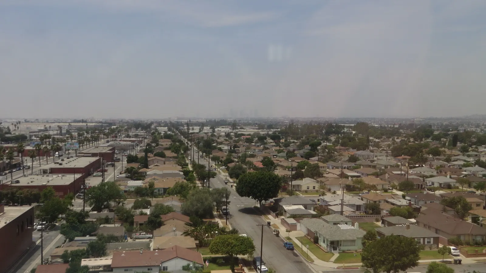
An earthquake centered just northwest of Commerce shook Los Angeles County before dawn Friday, Nov. 20. It began at 3:25 a.m. Pacific time, about 9.6 miles below the surface, according to the Southern California Seismic Network’s reviewed report. By late morning, the U.S. Geological Survey’s live catalog showed more than 14,000 people had submitted felt reports.
Readers looking up the jolt could find two reviewed numbers for it. The USGS catalog showed a moment magnitude of 3.9, rounded from 3.94, while the regional network’s report listed a local magnitude of 4.2. Both records carry the event ID ci41364111. The difference is in the way the two scales measure an earthquake.
The Los Angeles Fire Department’s 5:28 a.m. update said its survey found no significant damage to infrastructure or structures and no injuries within the City of Los Angeles. The department resumed normal operations. That assessment covered the city, whose jurisdiction is distinct from the City of Commerce, where the epicenter was located nearby.
Why the Commerce quake has two magnitudes
The letter codes beside the numbers identify the measurements. The regional network labels its 4.2 ML, or local magnitude. The current USGS entry labels its preferred solution Mw, or moment magnitude. The USGS guide to magnitude types describes local magnitude as a measure based on the amplitude of recorded waves, adjusted for distance. Moment magnitude is derived from an estimate of seismic moment, which relates to fault movement.
Early accounts were also working with different data. The fire department’s first incident notice called the magnitude 4.4 and marked it preliminary. The regional network’s time, location and depth and the USGS moment magnitude are the reviewed measurements to use when looking up the event now. Keep the event ID handy if the agencies publish further revisions.
Magnitude describes the earthquake at its source. Intensity describes how strongly the ground shook in a particular place. A person’s distance from the epicenter and the local ground conditions can change what they feel, even when they are reporting the same event. The USGS Did You Feel It? page collects voluntary accounts and maps them by location. Its response count can rise as more people submit reports.
The regional report puts the epicenter roughly two miles south of East Los Angeles and two miles northeast of Maywood. Those distances are horizontal and measured from the same point on the map. The reported depth, about 9.6 miles, measures how far underground the rupture began. Together they help explain why an event called the Commerce earthquake could be felt across the Los Angeles area.
Two California earthquakes, about four and a half hours apart
The Commerce jolt followed an earthquake near Pinnacles in Central California earlier in the night. The USGS Pinnacles event record lists 10:49 p.m. Thursday Pacific time and a reviewed magnitude of 5.0. The Commerce earthquake began at 3:25 a.m. Friday Pacific time, about four hours and 36 minutes later.
| Event | Pacific time | USGS event ID |
|---|---|---|
| Pinnacles, Central California | Nov. 19, 10:49 p.m. | nc75468702 |
| Commerce, Los Angeles County | Nov. 20, 3:25 a.m. | ci41364111 |
The time standard matters when comparing headlines. In the USGS catalog’s UTC clock, both earthquakes happened on Nov. 20. The first was at 06:49 UTC and the second at 11:25 UTC. For the forecast tied to that first event, see Newsmerica’s Pinnacles aftershock coverage. Its probabilities apply to the area and window specified in that forecast.
Why residents could feel shaking without a phone alert
A USGS scientist told a morning briefing that the system detected the Commerce quake and that the estimated magnitude fell below the 4.5 threshold for phone alerts through mobile apps and operating systems, LAist reported. The ShakeAlert delivery rules also vary by channel and predicted shaking. The federal Wireless Emergency Alerts channel uses a higher magnitude threshold than the app and operating-system channels.
The early-warning decision uses the system’s estimate in the seconds after a quake starts. The catalog magnitude is a separate product that seismologists can refine later. The strength someone feels at home comes from their local shaking. Those three pieces of information answer different questions about the same event.
For a later jolt, compare the time and location against the USGS earthquake map and look for its own event entry. The fire department directs residents to Ready Los Angeles for preparedness guidance. During shaking, its advice is to drop, cover and hold on.
Trust & transparency
How we handled this story
Verified the two event IDs, origin times, distinct magnitude scales and felt reports with the live USGS catalog and the Caltech regional report. Checked the city assessment and alert thresholds.

Grounded in this reporting
Ask Newsmerica
Ask about this article. Answers quote the closest published passages and link back to their sources.
This tool retrieves article passages; it does not add outside facts.Keep exploring