Lake-effect snow advisory warns of difficult travel in Upper Michigan
Higher terrain in Marquette and Baraga counties could receive 4 to 8 inches of snow, with local totals near 10 inches. Lakeshore totals should be much lower.
What to know
- A winter weather advisory covers Marquette and Baraga counties from 10 p.m. Wednesday to noon Friday.
- Higher elevations could receive 4 to 8 inches, with local totals up to 10 inches.
- Less than an inch is expected near the Lake Superior shoreline, including the city of Marquette.
- Conditions could change quickly along US-41 between Marquette and Negaunee.
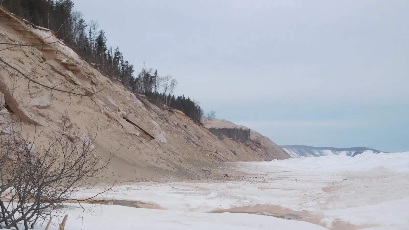
Lake-effect snow is expected to create sharply different travel conditions across parts of Michigan’s Upper Peninsula from Wednesday night through Friday, with the heaviest accumulation focused inland and over higher terrain.
The National Weather Service office in Marquette issued a winter weather advisory for Baraga and Marquette counties from 10 p.m. Wednesday until noon Friday. Its November 11 advisory calls for 4 to 8 inches over higher elevations, with local totals up to 10 inches.
The lakeshore should see much less. Forecasters expect less than an inch near Lake Superior, including in the city of Marquette, because temperatures close to the water will be warmer.
Where travel could be most difficult
The Weather Service highlighted rapid deterioration inland, particularly along US-41 between Marquette and Negaunee. The advisory says hazardous conditions could affect the Thursday morning and evening commutes as well as Friday morning.
Wind gusts could reach 30 mph inland and as high as 40 mph near Lake Superior. During lake-effect snow, narrow bands can produce heavy snowfall and poor visibility while nearby areas remain comparatively clear.
Drivers can check the Michigan Department of Transportation’s Mi Drive map for current road conditions, cameras, and closures. The Weather Service recommends slowing down and preparing for sudden changes in visibility and pavement conditions.
Why totals will vary so much
Lake-effect snow depends on wind direction, the temperature difference between the lake and the air, and local elevation. In this event, rain and mixed precipitation are expected to transition to snow Wednesday evening, while warmer air near the shoreline limits accumulation there.
Higher ground inland is colder and more favorable for snow to accumulate. A small shift in a lake-effect band’s position can move the heaviest totals by several miles, so read the advisory’s range as a regional forecast rather than a promise for any one address.
What happens next
Some improvement is possible Thursday afternoon as temperatures rise toward or just above freezing. Forecasters expect conditions to deteriorate again around sunset Thursday, with the advisory continuing through Friday morning. Travelers should use the latest NWS forecast and Michigan road information before leaving.
Trust & transparency
How we handled this story
Advisory timing, locations, snow ranges, wind gusts and travel impacts were checked against the National Weather Service Marquette advisory updated November 11.

Grounded in this reporting
Ask Newsmerica
Ask about this article. Answers quote the closest published passages and link back to their sources.
This tool retrieves article passages; it does not add outside facts.Keep exploring